
Walk an Alachua County Street
An Alachua County street search begins with an address, not a person's name. The Property Appraiser card identifies the parcel and title owner. That owner may live elsewhere, and other occupants may never appear on the roll. Treat the result as the first link in a chain. Map the lot, check the recorded sale, then add sources that were created for other public purposes. This street-by-street method is slower than a broad name search, but it keeps every name tied to a dated record and a specific place.
- Enter the situs address in the Alachua County Property Appraiser search. Record the parcel ID, legal description, owner, mailing address, homestead marker, and sales links.
- Open the parcel in the Property Appraiser GIS or Map Genius. Pan along one street face and open each adjoining parcel separately.
- Use a lawfully obtained voter extract only as dated registration evidence. A row does not disclose a ballot choice or prove a complete household.
- Follow the parcel card's sale link to the Clerk's deed image. Match the legal description before accepting a same-name party.
- For an older occupant, consult the library's reverse directories by year, street, and house number. Check nearby numbers when an address is missing.
The result is evidence, not a live household roster. A parcel owner, registered voter, permit applicant, and directory subscriber can be four different people.
Search Alachua Streets by Address
The ordinary ACPA search offers several routes into the same roll. Address autocomplete is the cleanest route for one site and the strongest first step in the street directory. An owner surname alone acts as a begins-with search, while supplying a first name makes the last name exact and the first name a begins-with value. Parcel searches require separators, even when leading zeros are left out. Subdivision, legal-description, section-township-range, and property-use modes help when a modern street label fails.
| Search key | Input | Local rule | Best use |
|---|---|---|---|
| Property address | Autocomplete text | Select a suggested situs address | One known address |
| Owner | Last and first name | Surname alone permits prefix matching | Known title holder |
| Parcel number | Three-part number | Spaces or hyphens are required | A stable parcel key |
| Subdivision | Filed name | Select the filed subdivision, then List | One recorded development |
| Legal description | Word or phrase | Searches recorded description text | Old deeds or changed addresses |
| Section, township, range | Three dropdowns | All three are required; grants use section 00 | Rural land |
The advanced search can narrow by subdivision, area, city code, ZIP Code, acreage, use, and value fields. Downloads are available only when a result has 400 parcels or fewer, so a long road often needs a tighter area or ZIP filter.
The Property Appraiser's official address instructions show the search modes used in the Alachua County street directory.
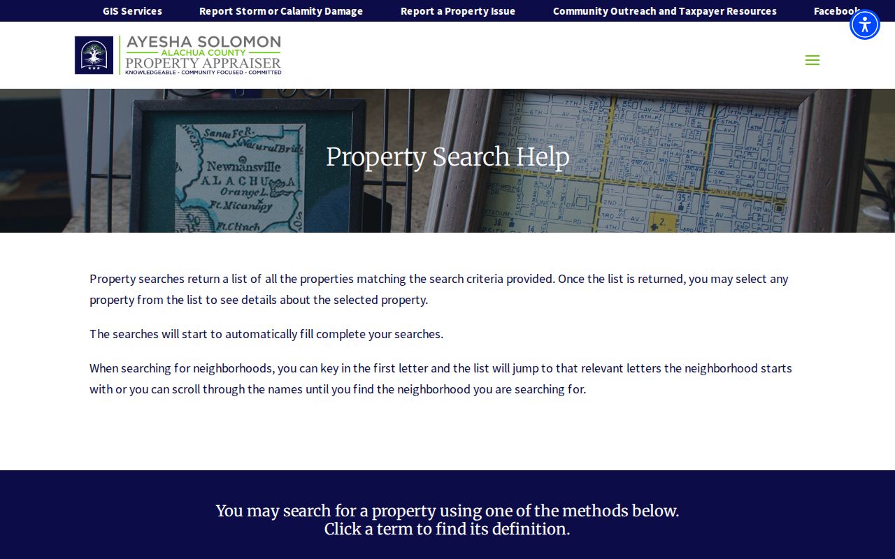
The captured help screen is useful when autocomplete, shortened parcel numbers, or name matching produces an unexpected result.
Read an Alachua Parcel Card
A parcel card keeps two addresses apart. The situs address identifies the property's physical location. The mailing address is where the owner receives tax correspondence. They may match, but that is not assured. The card also presents a long parcel ID, short Prop ID, legal description, acreage, tax area, homestead indicator, value history, land and building data, recent sales, permits, maps, and photographs.
- Parcel
- A mapped unit of land identified on the county roll.
- Situs address
- The physical address assigned to the property, distinct from tax mail.
- Plat
- A recorded map that divides land into lots, blocks, roads, or easements.
- Criss-cross directory
- A directory arranged by street and house number rather than only by surname.
A homestead exemption supports owner occupancy, yet it does not name every person in the home. Sales entries can link to Clerk instruments, creating the most reliable handoff from a current parcel to the deed chain.
Map Alachua County Street Parcels
The Property Appraiser's GIS gives the street directory a visual frame. Locate the subject lot, keep parcel lines visible, and move one parcel at a time along the road. Open the corresponding property card for authoritative roll details rather than reading ownership from map labels alone.
The ACPA parcel viewer provides the map-based route from an address to nearby parcels.
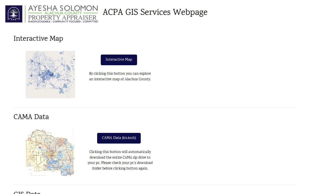
The viewer helps define the street segment before each lot is checked against the property roll.
Map Genius adds more than 60 layers, including municipal boundaries, zoning, future land use, flood zones, wetlands, political districts, and water-management districts. Its August 2026 redesign kept the same address. Search by owner, address, or parcel number, but do not treat mapped boundaries as a survey.
Alachua GIS Has Human Help
A portal is not the only access channel. County GIS staff work at the County Annex, 10 SW 2nd Avenue in Gainesville. The published hours are Monday through Thursday, 8:30 a.m. to 4 p.m., and Friday, 8:30 a.m. to 2 p.m. Questions can go to 352-374-5249 or GIS@alachuacounty.us.
The Growth Management GIS service page also offers Neighborhood Mailing and Any Distance Mailing forms. Those products concern owner mailing data around a place, not a verified list of residents.
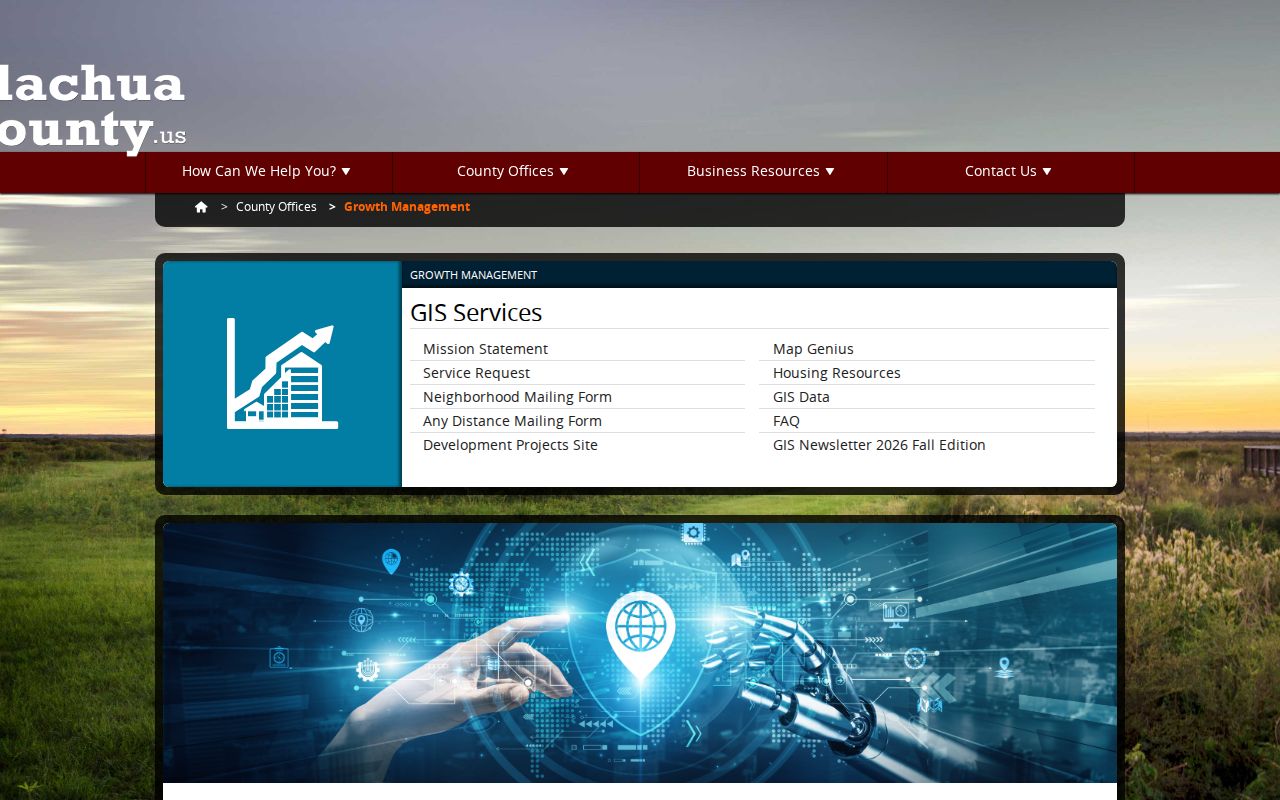
The service screen supplies a practical fallback when the street is too broad for a portal export or map controls are unclear.
Alachua Street Records Compared
No address source is complete. The Alachua County street directory works by comparing what each record was designed to show. Property and deed records concern ownership. Maps concern parcels and jurisdiction. Voter data concerns a dated registration. Permits document work and cases at the site. Historical directories list the people or subscribers selected by a publisher.
| Record Set | Keeper | What It Shows | Access |
|---|---|---|---|
| Property roll | Property Appraiser | Owner, situs and mailing addresses, exemptions | Free portal and office |
| GIS parcel map | ACPA and County GIS | Parcels, boundaries, zoning and flood context | Free viewers and GIS staff |
| Deeds and liens | Alachua County Clerk | Recorded parties, instrument, legal description | Modern index, archive and counter |
| Voter records | Supervisor of Elections | Dated public registration fields, less exemptions | Custodian request |
| Permits and cases | City or County Growth Management | Work history, applicant and owner names | Portal or records request |
| Reverse directories | ACLD Headquarters | Listed occupant or subscriber in a publication year | In-library volumes and microfilm |
The parcel number links the roll, map, permits, and recent sales. Older deeds may rely on lot and block or section-township-range. Street spelling then becomes a secondary key rather than the only way to keep the chain intact.
Follow Alachua Deeds by Parcel
The Clerk's current Official Records index begins in 1971, and free online images generally begin in 1978. Start with the sale instrument linked from the parcel card. Verify its legal description, identify the grantor, then search that person as a grantee before the sale date. A grantor gives an interest; a grantee receives one.
Before 1971, use the Clerk Historical Records archive. It provides deed index books from 1848 through 1971 and deed-book images from 1846 through 1957. The clerk counter is the fallback for images or indexes that are not available online. Ordinary Clerk copies are generally $1 per page, with certification at $2 per document.
Note: A deed chain proves recorded ownership interests, not who slept at the address or joined the household.
Alachua Address Permit Trails
Gainesville's PermitGNV covers existing and past permits, inspections, projects, and code cases inside city limits. Its code search begins with Search for Project, then Cases. The city instructs users to enter only the house number and numeric street component for an address search. A Gainesville postal label does not prove city jurisdiction, so an empty city result should be checked with Alachua County Growth Management.
County development records can be searched by permit or application number, address, applicant or owner, parcel number, or section-township-range. Building and Zoning Administration can be reached at 352-374-5243. A public-record request under Florida's Chapter 119 is the fallback when an identifiable existing record is not in the portal.
Applicants and contractors belong to the project record. Their presence does not establish residence.
Older Alachua Streets in Print
The Alachua County Library District Headquarters holds the address-to-name sources that a modern street directory cannot replace. The Gainesville City Directory of Streets and Numbers covers 1950. Hill-Donnelly Cross Reference directories cover 1969 to the present with some years missing. Gainesville telephone directories span 1907 through 2011, also with gaps.
Choose the publication year, find the street section, and move to the house number. Copy the occupant or telephone subscriber exactly as printed, plus the volume and page. Then check an alphabetical entry, census, deed, newspaper, or obituary. Missing people may have been unlisted, recently moved, omitted by the publisher, or present during a year the library lacks.
The full historical shelf and its abbreviations are explained in the Alachua County city directory.
Alachua Addresses Cross Boundaries
Postal city, municipal limits, and county jurisdiction are separate facts. A Gainesville mailing address may lie outside Gainesville. USPS can confirm the postal form, while Map Genius shows municipal boundaries and the parcel record supplies the situs. This distinction determines whether Gainesville or county staff holds a permit or code file.
Historic addresses need more care. UF Sanborn maps show old street names, house numbers, lots, and buildings. Property Appraiser maps and aerials from the 1960s through the 1990s can bridge the gap between those sheets and today's parcel map. Pleasant Street illustrates the limits: city tax records do not precede 1891, Sanborn coverage is partial in 1897 and fuller in 1903, and a deed chain alone may not date an early structure.
Limits of Alachua Street Records
An Alachua County street directory cannot supply a complete list of current occupants. Renters and household members are not comprehensively indexed. Protected voter records are shielded, motor-vehicle address data is restricted, and utility customer information is not an open resident roll. Even public sources lag behind moves, sales, corrections, and new construction.
Use the narrowest record that answers a lawful personal question. Confirm a title interest with the recorded deed, a parcel fact with the appraiser, and a historical listing with the publication itself. Do not publish an inference as a fact about a person.
Lawful use. Alachua County address records are for lawful personal research. Never use them to stalk, harass, intimidate, or harm anyone.