
Alachua Previous Resident Sources
The best source depends on the period. Current parcel data provides the starting key, recorded deeds establish owners, and address-based directories help identify listed occupants. Older work moves between searchable portals, scanned index books, physical volumes, and staff requests.
| Source | Years It Covers | Where Held | What It Shows |
|---|---|---|---|
| Deed books and indexes | 1846-1928 | Alachua Clerk archive | Owners and conveyances; descriptions vary |
| Scanned official-record indexes | 1928-1971 | Alachua Clerk archive | Seller and buyer trail with book and page |
| Modern Official Records | 1971-present | Clerk index and counter | Parties, dates, instruments; free images mainly 1978 onward |
| City and reverse directories | 1899-present, with gaps | ACLD Headquarters | Listed residents, subscribers, work, and addresses |
| Federal census schedules | Public through 1950 | NARA and library databases | Household members and relationships on a census date |
| Parcel roll and GIS | Current | Property Appraiser | Owner, situs, mailing address, sales and permit clues |
Begin with the current roll even when the goal is far in the past. Its parcel number and legal description create a bridge to records that may not contain the modern street address.
Walk Alachua's Deed Chain Backward
The current parcel card often links its latest sale to a recorded Clerk instrument. That direct handoff is safer than guessing a former owner's name. Open the image, confirm the legal description, identify the seller, and then find that seller's earlier acquisition.
- Search the Property Appraiser roll by address and record the parcel ID, legal description, current owner, and latest sale.
- Open the buyer's acquisition deed and confirm the lot, block, subdivision, or section-township-range.
- Search the seller as a grantee before the conveyance date. That earlier purchase should identify the next seller.
- Repeat backward while recording instrument number or book and page for every link.
- At the 1971 cutoff, move to scanned index volumes and deed books. Ask the Clerk when an image is not online.
- Grantor
- The person or organization giving a recorded interest.
- Grantee
- The person or organization receiving that interest.
- Chain of title
- The linked sequence of recorded transfers for the same land.
- Legal description
- The land description that can remain stable when a street label changes.
Always compare the legal land. A same-name owner or adjacent lot can otherwise send the previous residents search down the wrong path.
The modern index may offer a party name, date, and document type without a usable street key. Work from the instrument itself. A subdivision lot and block, metes-and-bounds description, or section-township-range can tie the transfer to the same parcel. For 1971 through 1977, the index is online but an image may require Clerk assistance. Restricted instruments may also be withheld from web display even in later years. The index remains a pointer, not a substitute for the recorded image or a certified copy when formal proof is needed.
Cross Alachua's Online Record Cutoff
The Clerk's historical deed and official-record indexes preserve the paper era rather than ending the search at 1971.
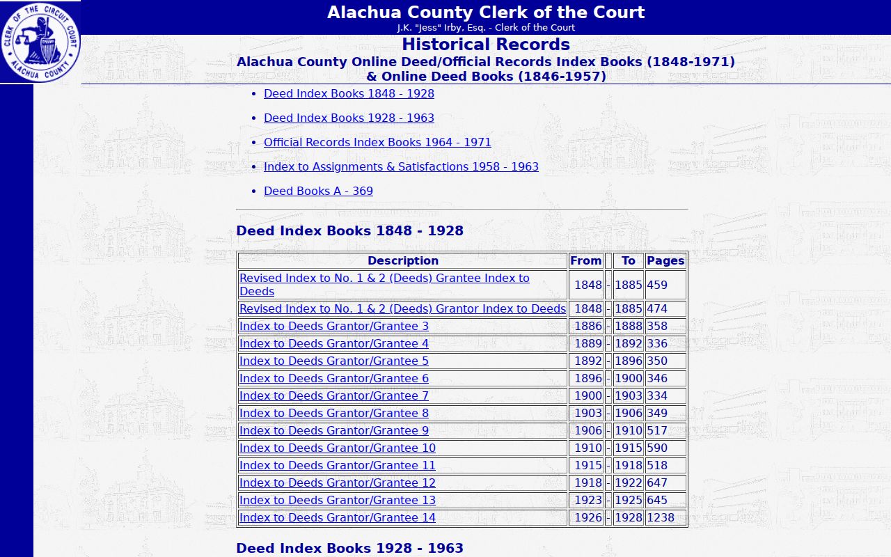
The archive includes deed index books from 1848 through 1971 and deed-book images from 1846 through 1957. Entries can provide parties, instrument kind, recording date, book and page, and sometimes a legal description.
Volunteers continue to transcribe scanned books. On August 5, 2026, the archive reported 239,651 partial deed-index entries, 21,584 partial mortgage-index entries, and more than 520,000 page images. A missing transcription is not proof that no instrument exists.
The manual sequence changes over time. Early grantor and grantee volumes cover 1848 through 1885, combined indexes follow for later years, and direct and indirect Official Records books serve portions of 1964 through 1971. Search the appropriate role and date span, then turn to the cited deed book. Ordinary Clerk copies generally cost $1 per page, and certification is $2 per document. Those fees apply when a copy is needed; browsing the historical web books is free.
Find Alachua Past Households
Ownership is only half of an address history. The 1950 Gainesville Streets and Numbers directory and Hill-Donnelly reverse directories from 1969 onward let a researcher begin with a street and house number. Alphabetical Polk, Miller, Coy, and telephone volumes can then add a spouse, work, or telephone clue. Years are missing, and unlisted people may not appear.
Pair a directory on each side of a census year with the public federal schedule. Census records currently extend through 1950 and may supply ages and relationships that directories omit. Mark publication gaps rather than treating adjacent shelf volumes as consecutive years. Collection details belong to the Alachua County city directory.
Address to household flow: street and number → reverse directory → named listing → alphabetical entry → census household → newspaper or probate check.
The directory's own abbreviation key matters. A residence mark, boards notation, widow label, or business address can change the meaning of a line. Copy the title, year, publisher, page, spelling, and neighboring entries. When a name vanishes, check the next available year under initials, a married surname, or another spelling. A move, death, survey lag, unlisted telephone, and missing volume are all possible. Do not treat absence as vacancy.
Close Alachua Resident Trails
Probate and obituary records can explain a transfer after death, distinguish similar names, and identify heirs. The Clerk's historical probate search accepts partial surnames and given names, even a single letter, and offers Soundex for spelling variants. Its coverage is partial, so absence is not conclusive.
The historical probate name search is the local entry point.
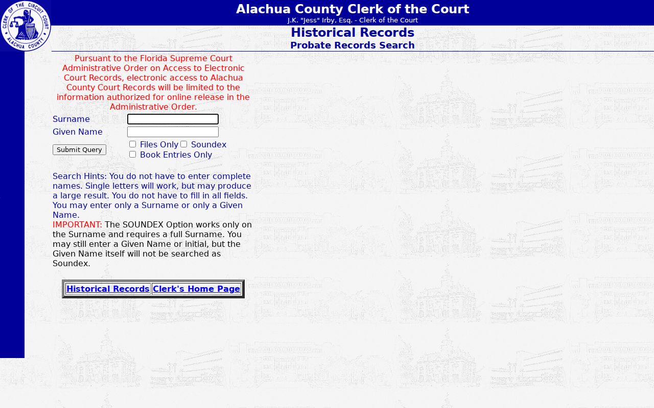
Compare a hit with the parcel deed, dates, and legal description. Gainesville Sun microfilm runs from 1865 through 2018 with gaps, while the searchable collection begins in 1911. Evergreen Cemetery has no documented public name-search portal, so its coordinator is the official fallback.
Map Earlier Alachua Addresses
Maps resolve breaks caused by changed street names, house numbers, subdivisions, or land use. UF's Map and Imagery Library holds Sanborn maps, Property Appraiser maps and aerials from the 1960s through the 1990s, and Gainesville utility maps from about 1997. Fragile pre-1950 maps are requested at the desk, and advance notice is encouraged.
The UF historical map and aerial collections provide this bridge for previous residents research.
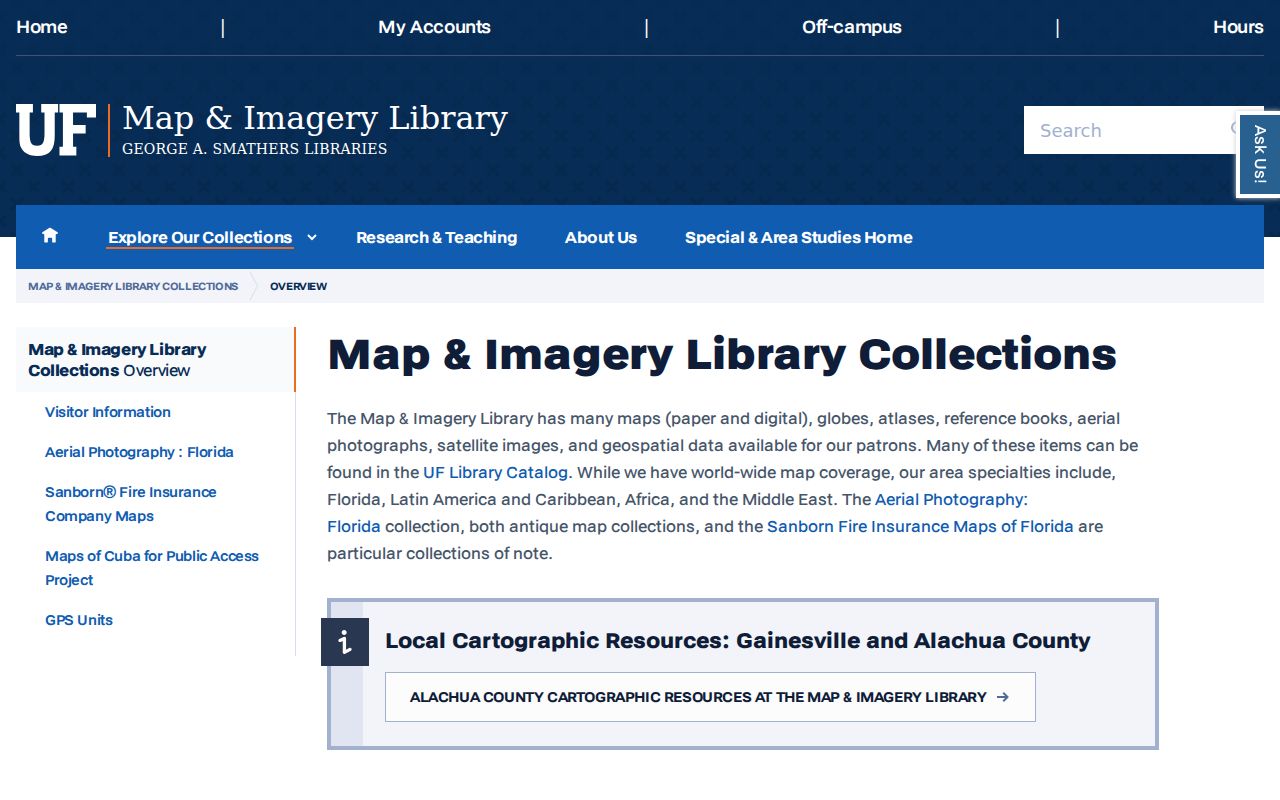
Match a mapped lot or structure to the deed's legal description before carrying a directory listing forward to today's parcel.
Pleasant Street Needs Layered Proof
Gainesville's Pleasant Street study shows why one record series may fail. City tax records do not precede 1891. The area is absent from the 1884 bird's-eye view, appears only partly on 1897 Sanborn sheets, and is mapped more fully in 1903. Some early deed chains also fail to date a building.
Use the plat, deed chain, directory listing, and successive Sanborn development patterns together. Gainesville's commercial-square fires in 1884 and 1886 do not prove that courthouse books burned. County history identifies the fires, but no official source located for the research states that deed or probate volumes were destroyed.
Note: A gap in one Pleasant Street source calls for another record type, not an invented loss date.
Alachua Abstract Files Add Context
UF's Alachua County Abstract Company Records span 1874 through 2000. The collection includes town and city title abstracts arranged alphabetically, grant files, tax bills, receipts, correspondence, and some Paynes Prairie abstracts. It can point toward earlier instruments or name variants when an official deed chain becomes hard to follow.
The official recorded deed remains the authority for a conveyance. Treat an abstract file as a research map, then retrieve and verify each cited instrument through the Clerk. Permits can add a dated construction or alteration clue, but a permit applicant is not automatically an occupant.
Municipal jurisdiction controls the permit fallback. A Gainesville postal address may be outside Gainesville city limits, so a quiet PermitGNV result should be checked with Alachua County Growth Management. County development records may be searched by address, applicant or owner, parcel number, permit or application number, or section-township-range. Request an identifiable existing record under Florida Chapter 119 when the portal does not expose the older file. Preserve the request date and custodian response with the house-history notes.
Use Alachua Previous Residents Lawfully
Previous residents research is strongest when every statement stays narrow. A deed identifies recorded parties. A reverse directory identifies a listed occupant or subscriber in one publication year. A census describes a household on its enumeration date. None proves a person's current location.
Florida's public-record rules do not open sealed probate material, protected addresses, recent confidential vital records, or restricted personal identifiers. Use public evidence for family history, estate questions, and the history of a place.
Maintain a simple source log with the address form, parcel number, legal description, name spelling, record date, and citation used at each step. Mark an owner as an owner and a published occupant as a listed occupant. When sources disagree, favor the original record closest to the event and explain the conflict. That discipline keeps an Alachua County previous residents timeline useful even when street numbers, surnames, or publication coverage shift.
Lawful use. Never use Alachua County previous resident records to track, harass, intimidate, or harm a living person.