
Alachua Neighbors by Public Source
Each block source answers a narrow question. Parcel tools show land and recorded ownership. Voter files show dated registration fields after exemptions. Permits show activity at an address, while associations identify public civic contacts. None is a live household roll.
| Source | What It Shows About a Block | Access |
|---|---|---|
| Map Genius and ACPA | Parcel shapes, adjoining owners, situs and mailing distinction | Free maps and parcel cards |
| County GIS mailing service | Owner-mailing audience within a defined distance | Official form and staff service; confirm fee |
| Supervisor of Elections extract | Dated public registration rows by address or precinct | Custodian request; exempt fields removed |
| Clerk deeds | Ownership changes and recorded parties | 1971-present index; archive for earlier records |
| Permits and code cases | Address-keyed work, applicant, and owner names | Portal or public-record request |
| Neighborhood organizations | Public group identity and civic contact layer | Published contacts; private rosters not assumed |
The owner name on a parcel card is solid evidence of the tax-roll owner. It is not proof that the person occupies the home, and it says nothing about every other person there.
Map Alachua County Neighbors
Start from one verified address in Alachua County Map Genius. Keep parcel boundaries visible while moving along one street face. The redesigned viewer launched in August 2026 and documents search by address, owner, or parcel number, but exact control labels were not confirmed in the research. Use only visible, understood functions.
- Locate the subject address and confirm its parcel number.
- Identify each parcel that touches or directly faces the subject lot.
- Open each parcel in the Property Appraiser roll and record the owner, situs address, mailing address, and homestead marker separately.
- Repeat around the immediate block without extending the result into a whole-road roster.
- Use the Alachua County street directory only when the question expands to the full named street.
This method produces an adjacent-owner list. Homestead can support owner occupancy, but it still cannot establish every neighbor in a household.
Map Genius carries more than 60 layers. Municipal limits, zoning, future land use, flood zones, wetlands, political districts, and water-management districts can explain why nearby parcels receive different services or notices. Parcel data comes from the Property Appraiser and addressing comes from E-911. The map is useful context, not a survey. Open the ACPA card for roll details and use a recorded plat or survey when an exact boundary matters.
Narrow Alachua Neighbor Parcels
The Property Appraiser's advanced search can narrow the roll by subdivision, Area or Neighborhood, City Code, ZIP Code, property use, acreage, and other ranges. It supports a block-level research set when a map view alone is awkward. Downloads are disabled when more than 400 parcels match, so narrow broad results before exporting.
The ACPA advanced-search instructions show the area and ZIP controls useful for Alachua County neighbors.
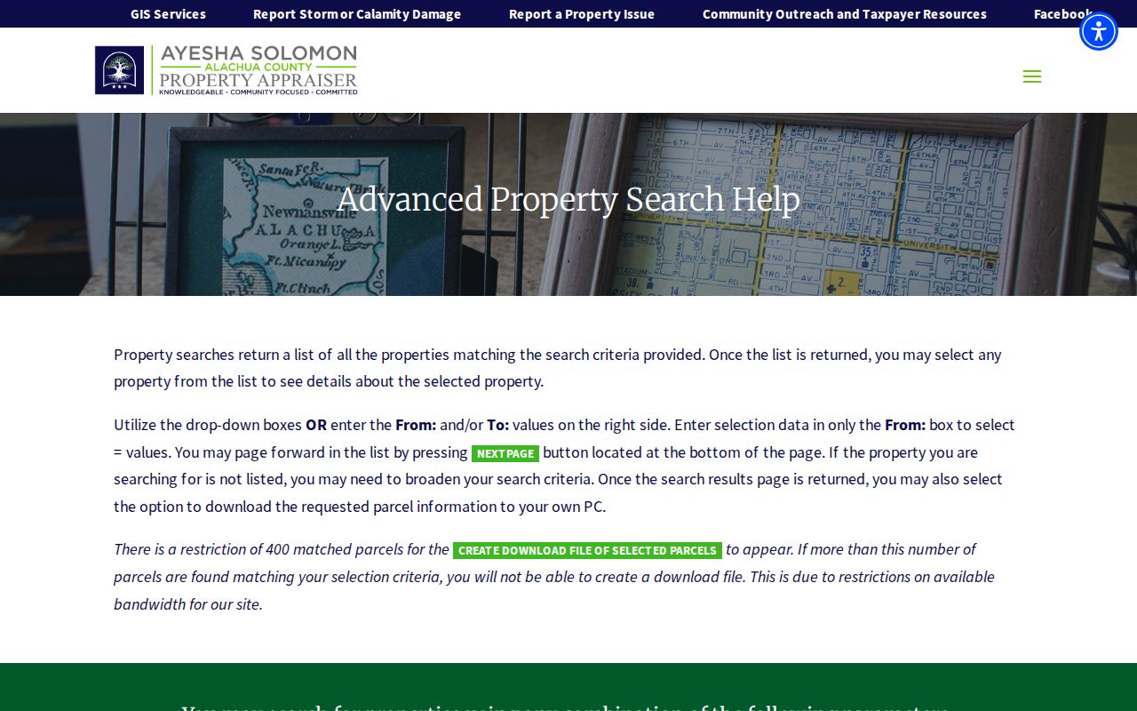
The captured help screen also clarifies that Area or Neighborhood is an appraiser field, distinct from a subdivision name filed in the public record.
Request an Alachua Owner Radius
County GIS publishes Neighborhood Mailing and Any Distance Mailing forms. These services show that staff can prepare a geographically defined owner-mailing list around a site. Ask GIS at 352-374-5249 or GIS@alachuacounty.us about the distance, fields, current fee, and delivery format. The office is at the County Annex, 10 SW 2nd Avenue in Gainesville.
A mailing addressee may live elsewhere. Keep the mailing address separate from the parcel's situs, and do not label the resulting owner audience as the people who reside on the block.
GIS staff publish service hours of 8:30 a.m. to 4 p.m. Monday through Thursday and 8:30 a.m. to 2 p.m. Friday. Before ordering, ask which parcels qualify at the chosen distance, which fields appear, and whether the output reflects the current Property Appraiser roll. A defined mailing radius can support a public notice or civic contact task, but distance alone does not make every addressee a neighbor in the everyday sense.
- Situs address
- The physical location assigned to a parcel.
- Mailing address
- The destination for owner tax correspondence.
- Parcel
- A mapped unit of land with its own county identifier.
- Homestead marker
- Evidence supporting owner occupancy, not a list of all occupants.
Alachua Voter Rows Are Dated
Florida treats registration and voting history as public, subject to important exemptions. Social Security numbers, driver-license or Florida ID numbers, registration-source information, preregistrant data, and copyable signatures are withheld. Address Confidentiality Program participants and other protected people may also be shielded.
The statewide lookup is designed for a voter's own status check. For block research, the documented channel is the Florida voter extract request or an Alachua Supervisor of Elections public-record request.
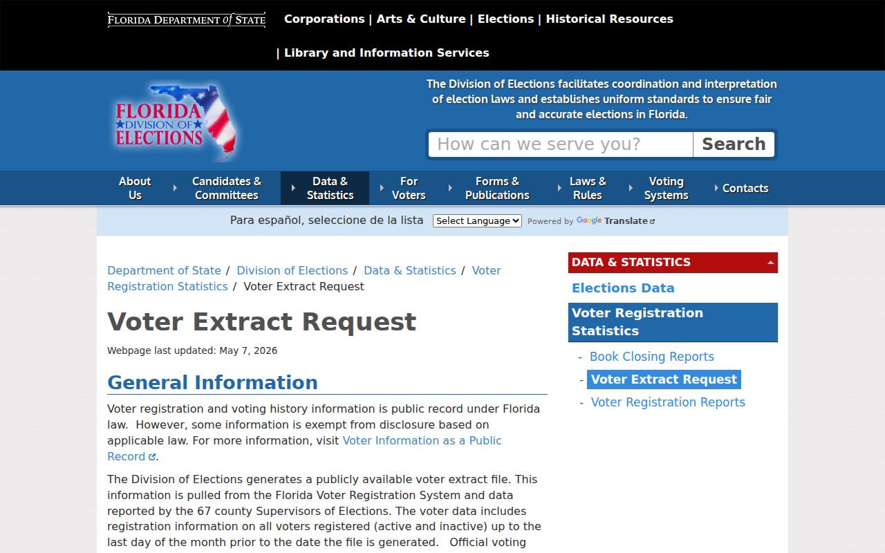
A public row is dated registration evidence. Voting history shows participation in an election, never the person's ballot choices, and it does not prove a complete current household.
Florida's statewide voter extracts follow a published schedule and may involve administrative fees. The county Supervisor of Elections also provides a public-record request channel. State the record sought and useful date or geographic fields without demanding that the custodian create a new analysis. Keep the extract date in any notes. Registration can lag behind a move, and a protected row may be absent by law, so never use silence to infer that no eligible voter lives nearby.
Meet Alachua Neighborhood Organizations
Gainesville planning materials identify civic groups that represent neighborhood interests. Their public names and contact channels support community participation. The sources do not establish open member or resident rosters.
| Organization | Official Evidence | Directory Limit |
|---|---|---|
| Fifth Avenue Neighborhood and Historical Association | 2026 Comprehensive Plan engagement roster | Public group identity; no member roster confirmed |
| Greater Duval Neighborhood Association | City planning roster | No public resident list confirmed |
| Golfview Neighborhood Association | City planning roster | No public member list confirmed |
| Porters Neighborhood Association | City planning roster | Organization contact, not household directory |
| Ridgeview Neighborhood Association | Planning roster and Adopt-A-Street participant | No member roster confirmed |
| University Park Neighborhood Association | City planning roster | No public member list confirmed |
| Gainesville Neighborhood Voices | Planning engagement roster | Umbrella civic group, not resident roll |
Gainesville planning notices must be sent to city-registered associations within one-half mile under the city's neighborhood-workshop process. That registry is the right public contact layer. Private congregation, club, watch, or association rosters remain private unless the group intentionally publishes them.
Several additional places appear as geographic names without a confirmed resident directory, including Duval Heights, Lake Forest Farms, Pine Meadows, and Lake Terrace. Keep that distinction clear. A named neighborhood may have recognized boundaries or planning context without a formal association. Likewise, a public association officer is a civic contact, not a source for private household details. Ask the organization about public meetings, notices, or published resources rather than requesting member information.
Alachua Neighbors Share Time Layers
Neighborhood identity, postal city, municipal jurisdiction, and parcel situs can describe different boundaries. Pleasant Street is Gainesville's oldest predominantly African-American residential area and Florida's first such designated historic district. The Northeast Residential, or Duckpond, district traces its original plat to 1854. Porters Quarters was platted in 1884 and named for Olivia and Watson Porter.
The Gainesville Historic Preservation inventory supplies verified neighborhood context for Alachua County neighbors.
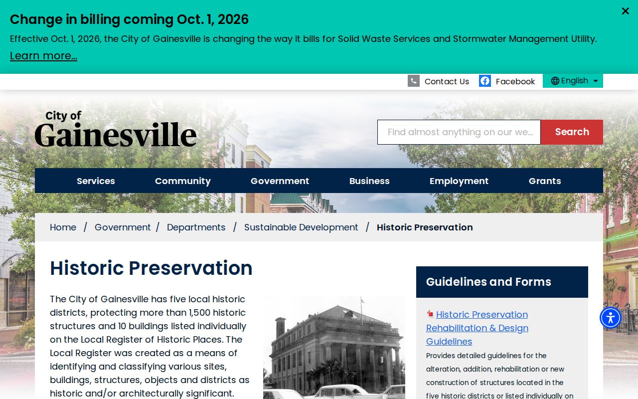
The districts help explain shared development patterns without turning a geographic label into a claim about association membership or current occupancy.
Compare Alachua Neighbor Sources
Official rolls and commercial neighbor tools are not interchangeable. A county parcel record identifies its custodian, update context, and defined fields. Commercial products merge public and private feeds, which can attach stale people to apartments or confuse mailing and situs addresses.
| Source type | Strength | Limit |
|---|---|---|
| Official parcel and deed records | Traceable custodian and recorded land facts | Owners are not necessarily occupants |
| Official voter extract | Dated public registration fields | Exemptions and moves make it incomplete |
| Community organizations | Current public civic channels | No authority for private membership |
| Commercial compiled tools | Convenient aggregation | Stale, mismatched, and hard-to-audit identities |
Use the source created for the fact being checked. Confirm land with the Property Appraiser or Clerk and public association identity with city planning material.
Protect Alachua County Neighbors
No public block method identifies all occupants. Renters and household members are not comprehensively indexed. Utility and delivery data are not public resident rolls. Florida's Address Confidentiality Program protects substitute addresses for eligible participants, while other occupational exemptions may shield home information.
Use block records for civic curiosity, understanding parcel ownership, or finding a public neighborhood contact. Stop when the available evidence does not support a conclusion about a person.
Record the date and custodian for every result. Maps, tax rolls, voter extracts, permits, and organization lists update on different schedules. If two sources conflict, describe what each actually says instead of choosing the more convenient name. A current parcel card can correct an older compiled result, while a deed image can establish a transfer that the tax roll has not yet reflected. Check again before relying on an old result. Careful labels protect both the researcher and Alachua County neighbors from unsupported claims.
Lawful use. Never use Alachua County neighbors records to watch, harass, intimidate, stalk, or harm another person.